360 Property Data
CoreLogic powers businesses with unrivaled property data, insights and technology.
Explore Our DataCoreLogic powers businesses with unrivaled property data, insights and technology.
Explore Our DataDifferentiate with insights and analysis from CoreLogic property data.
Know MoreProperty. People. Potential. CoreLogic unlocks value for the entire property ecosystem.
Learn MoreHome / Archives for Tom Jeffery

Dr. Tom Jeffery , Ph.D., is a senior hazard scientist for CoreLogic Location Science. He is the lead scientist working on the development of CoreLogic’s deterministic wildfire risk model. He works closely with many of the top 100 U.S. insurance companies to help implement our hazard risk models into their automated underwriting and pricing systems.
Prior to CoreLogic, Tom was a professor at the University of Wisconsin, Whitewater, specializing in GIS, cartography, and remote sensing. He is a nationally recognized leader in wildfire risk modeling and has been involved in brushfire modeling since the 1990s. He earned his bachelor’s degree in geography from the University of Wisconsin, Whitewater, his master’s degree in geography from Western Illinois University, and his doctorate in geography from the University of Nebraska, Lincoln.

CoreLogic compiled the top 15 core-based statistical areas (CBSAs) in the U.S. for wildfire exposure in 2024.

Wildfire hazard management is a critical, multi-pronged approach to reduce property risk. But it doesn’t always obey property lines.

Wildfire hazard mitigation is a multi-faceted approach to affect meaningful change. But mitigation begins in Zone 0.

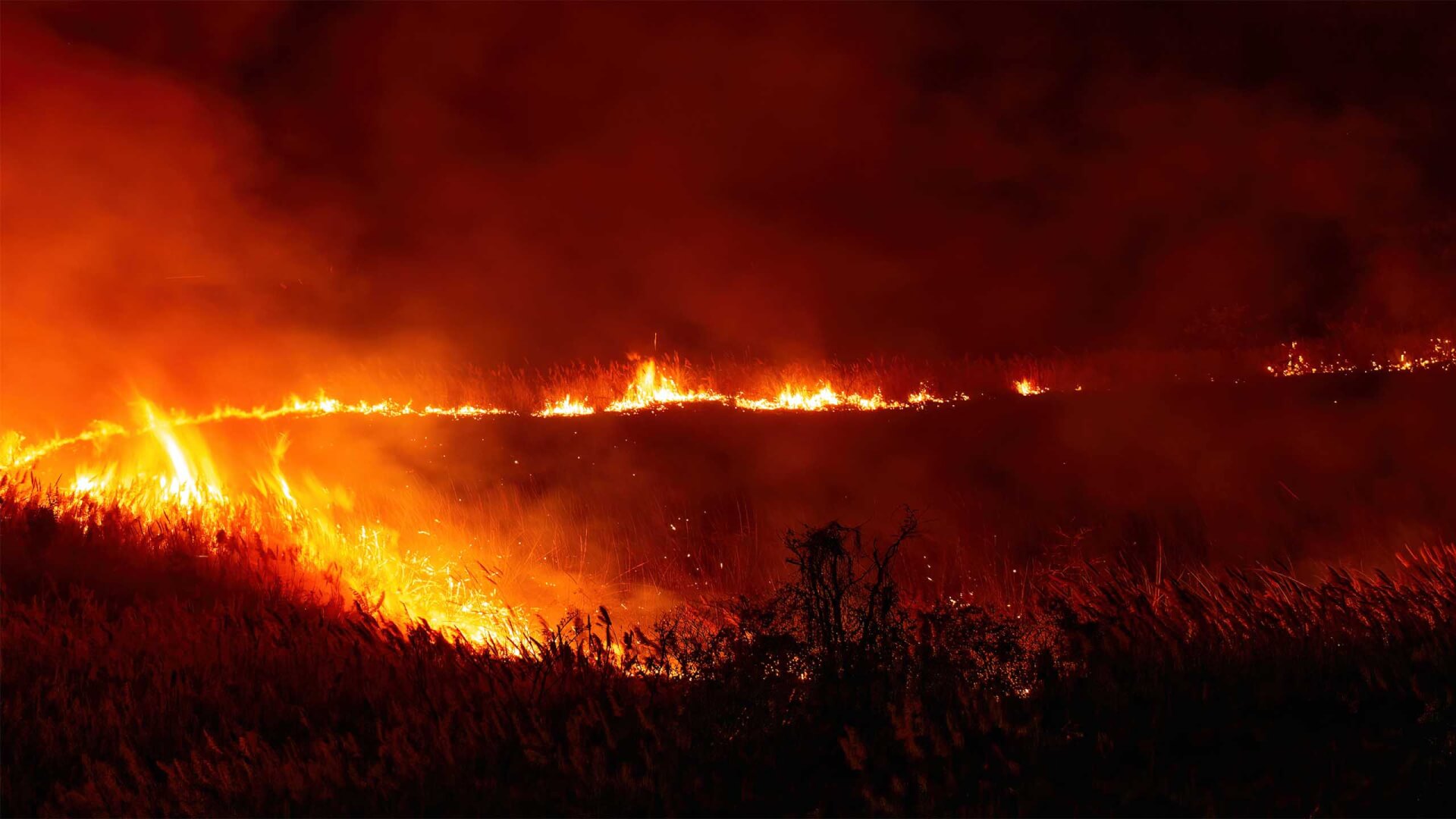
Over the past several years, the United States has experienced record-breaking wildfires. In 2018 alone, a total of 8,767,492 acres burned – an area roughly

Storm Surge and the Communities in its Crosshairs As summer approaches along the Gulf and Atlantic coasts, residents prepare for the hurricane season ahead. The Atlantic